Found 899 results
Sort by

Teledyne Geospatial announces CARIS OnDemand

Teledyne Geospatial has announced that CARIS software, globally preferred by national mapping and charting agencies, survey companies, port and waterway authorities, oil and gas companies and academic institutions, will now...

Read more

EchoLogger

Echologger leads in underwater sonar tech, specializing in ultra-compact echosounders and imaging sonar devices. Its solutions cater to professionals and organizations that include bathymetry providers, oceanography researchers, marine biologists, environmental...

Read more

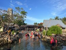
Towards a positive future for Kiribati

In an era of environmental challenges and economic uncertainties, nations are earnestly seeking innovative ways to stimulate economic development, improve public safety and enhance the quality of life for their...

Read more

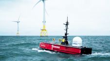
Teledyne’s role in advancing ocean science

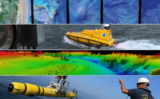
Working in the ocean environment can be challenging and dangerous. It requires skilled professionals using cutting-edge technology to measure and map the physical features of the underwater environment, whether for navigational safety, coastal zone management, mapping of physical structures or seabed topography. Often, data is collected in remote locations or locations with unpredictable and harsh weather conditions. Working in the ocean environment can be challenging and dangerous. It requires skilled professionals using cutting-edge technology to measure and map the physical features of the underwater environment, whether for...

Read more