Airborne Hydrography
Seamless coverage from land, to shallow water, to sea bottom Leica Geosystems and its subsidiary Airborne Hydrography AB (AHAB) develop and sell airborne Lidar survey systems for bathymetric and topographic...
Seamless coverage from land, to shallow water, to sea bottom Leica Geosystems and its subsidiary Airborne Hydrography AB (AHAB) develop and sell airborne Lidar survey systems for bathymetric and topographic...
Leica Geosystems is seeking papers for its three tracks at Hexagon 2012, to be held from 4th to 7th June 2012 at the MGM Grand Hotel, Las Vegas, USA. The...
Kongsberg Mesotech, Canada, has announced the latest version of MS 1000 software for MS 1071 and MS 1171 Digital Scanning Sonar. MS 1000 Version 5.0 marks a major change in...
The international Hexagon 2012 conference is to take place from 4th to 7th June at the MGM Grand Hotel & Casino in Las Vegas, USA, and registration is now open....
Following the suspension of Parliament in the summer of 1858 due to the ‘Great Stink’, an act was passed to allow construction of a network of giant sewers, pumping stations...

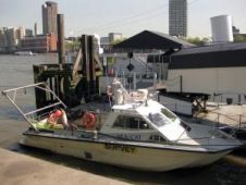
Sea Floor Systems presents its 4th generation Hydrolite singlebeam hydrographic survey system. The system incorporates the Sonarmite "Mil-Spec" echo sounder system with the Hydrolite pole kit for fast and easily...
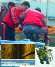
Over the past year, a number of Asian companies and government agencies have acquired underwater search equipment to aid in locating lost objects and assist in performing survey operations. In...
The ELMF team are taking the show to Salzburg, Austria from 29th to 30th November 2011. In four weeks time, since the launch of the second event, old and new...
Leica GNSS Spider v4.0 is a part of the new reference station software update that also includes Leica SpiderWeb v4.0 and Leica SpiderQC v4.0. GNSS Spider v4.0 features an all-new...
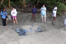
In 2009, a research project was implemented to study the potential socio-economic impacts of climate change upon coastal communities in Canada and the Caribbean. Grande Riviere in Trinidad and Tobago,...
This site uses cookies. By continuing to use this website, you agree to our Cookies Policy. Agree