YellowScan enters hydrography market with bathymetric UAV-Lidar solution
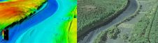
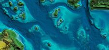
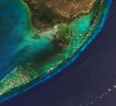
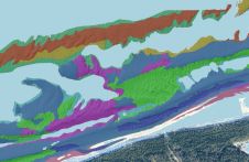
YellowScan, a familiar name in the mapping and land surveying realm, is making a noteworthy entrance in the hydrographic sector with the introduction of its pioneering UAV-based bathymetric Lidar solution....