Found 210 results
Sort by

The role of satellite-based mapping in hydrography

By harnessing capabilities of advanced satellite technology and ever-evolving data analysis, satellite-based mapping (including satellite-derived bathymetry, SDB) offers an efficient, extensible and cost-effective method for mapping water properties, underwater topography...

Read more

MS400U MBES

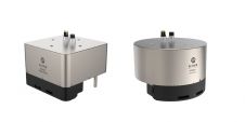
The MS400U is a compact Multibeam Echosounder (MBES) specially designed for USVs or other unmanned platforms. It has a built-in sound velocity sensor and IMU & GNSS, which are the...

Read more

S-44 and the systematic error

IHO standard S-44 is often used (or misused) to specify the quality of a hydrographic survey. While it is a useful tool, it is easy to misinterpret. One ‘misuse’ is...

Read more

DriX and FlipiX: Exail’s smart solution for bathymetric, geophysical and UXO surveys

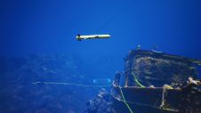
Combining the DriX uncrewed surface vehicle (USV) and the FlipiX remotely operated towed vehicle (ROTV), Exail has developed a unique solution enabling fully autonomous and remotely operated surveys. Combining the DriX uncrewed surface vehicle (USV) and the FlipiX remotely operated towed vehicle (ROTV), Exail has developed a unique solution enabling fully autonomous and remotely operated surveys. Accurate surveys...

Read more