Investigation of a Possible High-risk Shipwreck in Finnish Waters
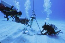
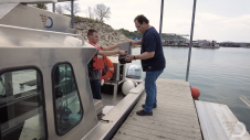
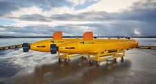
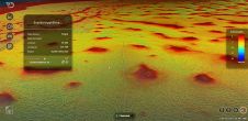
The marine research vessel Aranda recently surveyed the southeast side of the Finnish island of Utö. A preliminary investigation of the tugboat Simson, which sank in 1978, is underway for...