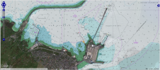
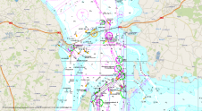
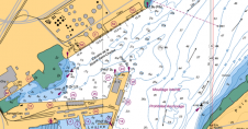
Fugawi Aboard, from Northport Systems, is designed with new technology, combining US and Canadian raster charts based on National Oceanic Atmospheric Administration (NOAA) and Canadian Hydrographic Service (CHS) nautical charts into quilted regions for use on compatible chart plotters. Fugawi Aboard combines over 2,000 NOAA and 600 CHS raster navigation charts all on one convenient quilted product. Packed with coastline detail for the entire United States and Canada, Fugawi Aboard delivers the look and feel of vector charts with the unmatched detail and familiarity of paper charts. The charts behave like any other electronic cartography, allowing users to zoom and...
(read more)