Found 163 results
Sort by

Raster Charts Entering GIS Era

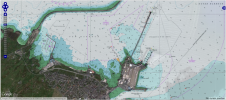
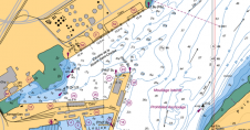
OceanWise, UK, has developed a set of specialist tools and methodologies to identify specific content from raster charts. By removing all content to the landward side of the coastline, OceanWise...

Read more

FME 2007 Supports Raster Data

Safe Software’s FME 2007 includes Spatial ETL capability for raster data from now on. The new version provides raster and vector integration capability and facilitates GIS professionals to work with...

Read more

Marine Themes and Raster Charts Go Global

UK-based OceanWise has established off-the-shelf marine mapping datasets that meet the needs of the most demanding applications. These datasets include raster charts, marine themes and the recently released marine themes...

Read more