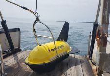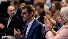
Influential speakers announced for Catch the Next Wave’s return at Oi24
The organizers of Oceanology International 2024 (Oi24) have unveiled an exceptional roster of expert speakers for the highly anticipated revival of the Catch the Next Wave series at the premier...