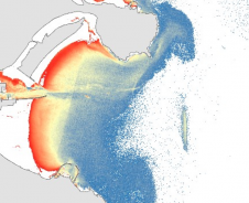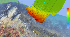
TCarta Marine to Unveil Trident Satellite-derived Bathymetry
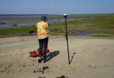
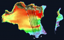
TCarta Marine, a global provider of hydrospatial products, will demonstrate the new Trident Satellite Derived Bathymetry (SDB) Toolbox, now available as a software-as-a-service product, at GEOINT 2021, which is being...