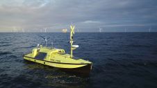
Ørsted unveils patented uncrewed surface measuring vessel
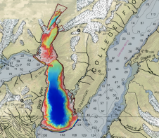
Ørsted, one of the world’s foremost offshore wind farm developers, has designed and developed an uncrewed surface vessel (USV) specifically for offshore metocean measurement campaigns. The collected measurement data plays...