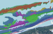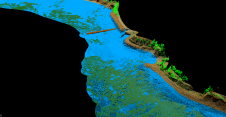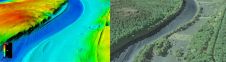
Updating archive data with airborne bathymetric technologies
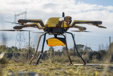
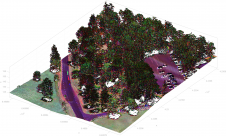
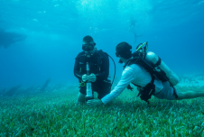
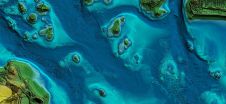
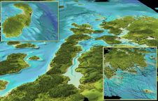
All over the world, surveyors are opting for UAV technologies to advance coastal mapping services. VBW Weight GmbH from Germany and RASA Surveying from the Philippines are professional service providers...