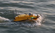
Unveiling innovation in CHC Navigation’s Apache 3 Pro
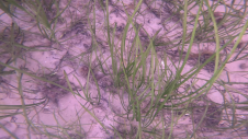
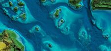
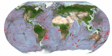
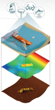
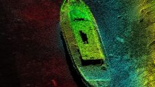
CHC Navigation (CHCNAV), a leading manufacturer of uncrewed surface vehicle (USV) technology, has introduced the Apache 3 Pro – an advanced compact hydrographic drone engineered for autonomous bathymetric surveys in...