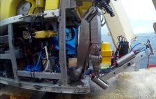
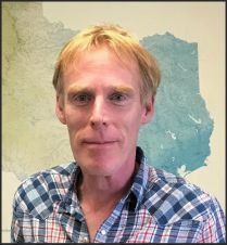
Found 119 results
Sort by

Gottfried Mandlburger

Gottfried Mandlburger studied geodesy at TU Wien, where he also obtained his Ph.D. in 2006. After finishing a 3-years research stay at the University of Stuttgart (2017-2019), he returned to...

Read more

Arno Meurink

Arno Meurink is a cartographer at the Netherlands Hydrographic Office. After working for almost ten years at the photogrammetry department of Fugro he made the switch to the Hydrographic Office in...

Read more

IMCA Revises Subsea Metrology Guidance

Subsea metrology procedures are expanding rapidly to provide ever-higher-accuracy solutions, so the publication by the International Marine Contractors Association (IMCA) of a revised version of ‘Guidance on Subsea Metrology’ (IMCA...

Read more

Darren Wilkinson

Darren Wilkinson is employed by Land Surveys in Business Development for Geospatial Services and has been in the geospatial industry for 32 years. He holds qualifications in Cartography, Photogrammetry and...

Read more

NEXUS 800 Powered by HYPACK on Display

The NEXUS 800 powered by HYPACK is a full end-to-end solution representing a new paradigm in unmanned aerial vehicle (UAV) data collection by harmonising Lidar data with photogrammetry. The NEXUS...

Read more