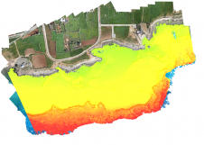
Bathymetry from UAV imagery and machine learning
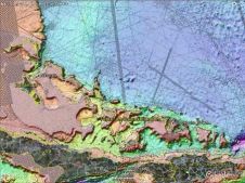
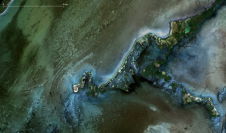
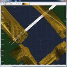
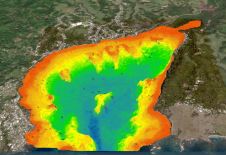
Accurate bathymetric mapping of shallow areas is essential for many offshore activities. Through Structure from Motion (SfM) and Multiview Stereo (MVS) techniques, images can provide a low-cost alternative compared to Lidar...