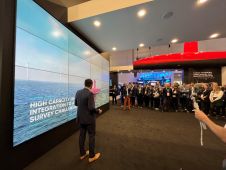
Bayou Bend CCS selects Sulmara for offshore geophysical survey
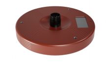
Subsea specialist Sulmara has played a pivotal role in advancing Bayou Bend CCS LLC’s efforts through the utilization of technology. During a recent high-resolution geophysical survey for the Bayou Bend carbon...