On the Cusp of A New Hydrographic Era
I became director of NOAA’s Office of Coast Survey in late August, and I feel incredibly lucky to be able to take the helm at this dynamic time in hydrographic history. We are on the cusp of a new era in hydrography. I am, like most field hydrographers, very excited by the possibilities of new survey technology, but I want to focus here on the requirement drivers that I see shaping the US hydrographic programme for the next 20 years.
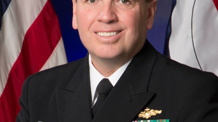
By Rear Admiral Shepard Smith, NOAA, USA
In NOAA’s programme, hydrography serves nautical charting, which in turn serves the millions of ships and boats on US waters. NOAA has begun a systematic review of the adequacy of our charts for current and projected use. We compare the charts to AIS traffic patterns and to satellite-derived bathymetry, and we take note of charted reports of shoals, wrecks and obstructions. It is clear that our focus on large ports and approaches in the past 30 years has paid off. These charts are in pretty good shape. On the other hand, charts of the rest of the coasts really need attention. Natural shorelines and water depths have changed dramatically, particularly near ocean inlets. New marinas have been built. There are many thousands of reports of shoals and obstructions, often reported after a grounding or allision. The scale of the charts is often inadequate to depict the detail necessary for safe navigation. These smaller waterways serve our coastal communities and the millions of small boats that help drive the vitality of their economies. Because these waterways are often too shallow for efficient multibeam coverage, we will need a blended solution of topobathy lidar and sonar, guided by change detection made possible by crowdsourcing and satellite-derived bathymetry.
In addition, our work in ports is not done. As clearance margins are squeezed by larger ships and limited dredging budgets, we are challenged to provide more precise measurements and predictions of water depth, tides, currents, salinity and waves. Putting data on websites is not enough. We need to distribute them in standard formats to charting systems, portable pilot units and port information systems to allow users to quantifiably manage navigation risk. Our old-school ENCs, tide tables and marine radio weather are not sufficient for this purpose. In partnership with other federal agencies, the IHO, port authorities, pilots and navigation systems providers, we will build a new environmental information infrastructure in our ports.
Lastly, even as we see momentum building toward a systematic effort to map the global oceans, US waters are not fully surveyed. Most modern multibeam work has been done either near the coast or along the continental slope. There are solid requirements to finish the job, for fisheries to understand habitat, for minerals and petroleum utilisation, for wind energy, for exploration of unique undersea places, and to protect historic wrecks and monitor those containing hazardous materials. Seafloor and water column multi-frequency backscatter will help us understand subtleties of marine habitat and geomorphology, even as these begin to change with warming and acidifying seas and changing circulation patterns. This will require an ambitious, coordinated interdisciplinary survey campaign.
With the challenges of this new era, has there ever been a more exciting time to be a hydrographer? I think not.

Value staying current with hydrography?
Stay on the map with our expertly curated newsletters.
We provide educational insights, industry updates, and inspiring stories from the world of hydrography to help you learn, grow, and navigate your field with confidence. Don't miss out - subscribe today and ensure you're always informed, educated, and inspired by the latest in hydrographic technology and research.
Choose your newsletter(s)


