Yukon River Charts Based Solely on Satellite Images
NOAA Coast Survey has issued unique provisional charts based solely on satellite images for barge operators and others traversing Alaska's challenging Yukon River. The electronic navigational charts (ENCs) display shoreline and shoals (shallow areas) only, with no depth soundings. These charts, the first to be created from satellite imagery alone, will give the mariners annually updated information to help them navigate along the changeable river.
During a virtual meeting on 6 January 2016 with barge operators who requested NOAA's charting assistance, Andrew Kampia, the cartographer in charge of the project explained that this is considered an experiment because no navigational product like this has been released or created before. The Yukon was literally uncharted and, after analysis and brainstorming, it was decided to create a prototype ENC using only satellite data.
Availability of Resources Solved
Coast Survey is not able to provide contemporary surveys to acquire data for charting the length of the river, as funding, survey vessel availability, remoteness, and small windows of opportunity to survey are major obstacles. Satellite-derived bathymetry from two navigation seasons between July 2014 and October 2015 helps to fill the void of contemporary data for Western Alaska.
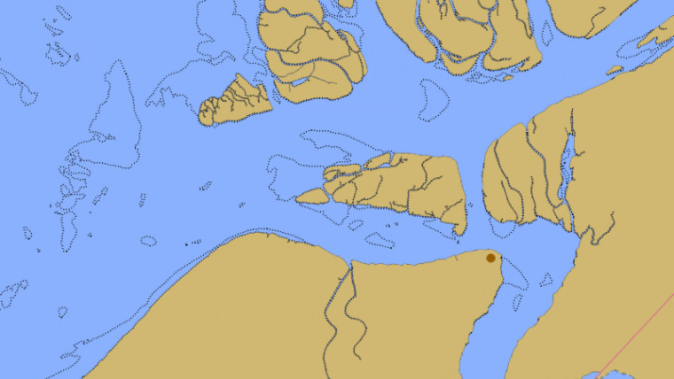
The charts will help to address the concerns of the local barge industry that supplies goods and services to western Alaska and who have had to deal with a lack of data inshore of the 12-foot contour. The average draft of vessels transiting up river for village deliveries is four to six feet. The new Yukon River provisional ENCs US4AK98M, US4AK99M, and US4AK00M offer 1:90,000 scale coverage that spans the entrance to the Yukon River, including Apoon Pass to Kotlik, and continues east to Russian Mission.
Special Notes
Coast Survey has provided two special notes for the Yukon River ENCs:
Warning Provisional ENC
This ENC was constructed using the best data available. All or much of the shoreline, depths and shoals within this ENC are below customary quality, are not corrected for tides, nor based on a known sounding datum. All or much of the charted detail is highly changeable. Navigators should use this ENC with extreme caution.
Satellite Derived Depths
Shoreline, depths, and obstruction areas within the area of this ENC are derived from satellite imagery from 2015. Their vertical accuracy is typically ±2m. Uncharted dangers may exist.
Since the river is in a constant state of change, Coast Survey will use satellite images after the spring thaws to make annual updates. Late this spring, a satellite-derived bathymetry analyst will examine the first satellite images after the Yukon thaws and is navigable. The Landsat 8 images are available every 16 days as the satellite makes it trip around the globe, so the first usable images may not be available until May or June. After turning the images into shoreline and bathymetric updates, updated ENCs will be issued in early July - or earlier if possible.
Living Document
The Office of Coast Survey recently issued the revised U.S. Arctic Nautical Charting Plan, but agency officials stress that it is a "living document," needing adjustments as priorities change. Hydrographic and cartographic experts will travel to Alaska in March to ask the state's maritime industry for input that will help future surveying and charting activities for the State.

Value staying current with hydrography?
Stay on the map with our expertly curated newsletters.
We provide educational insights, industry updates, and inspiring stories from the world of hydrography to help you learn, grow, and navigate your field with confidence. Don't miss out - subscribe today and ensure you're always informed, educated, and inspired by the latest in hydrographic technology and research.
Choose your newsletter(s)


