
With offices in the USA, Jamaica and Canada, TCarta has built an international business in the cost-effective and safe derivation of onshore and offshore datasets using multispectral imagery captured by Earth observation satellites – with no negative impact on the natural habitat. TCarta products and services are relied upon by governmental, oil & gas, environmental and infrastructure development clients in applications as diverse as natural resource monitoring, tsunami modelling, disaster & hazard response and hydrologic studies.
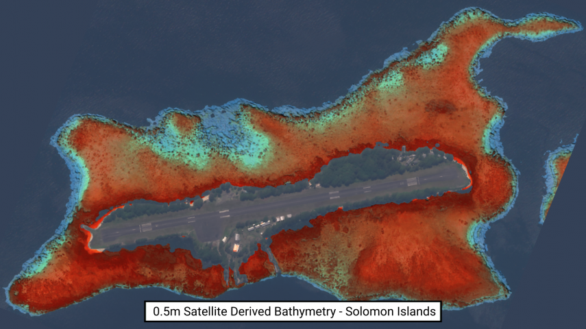
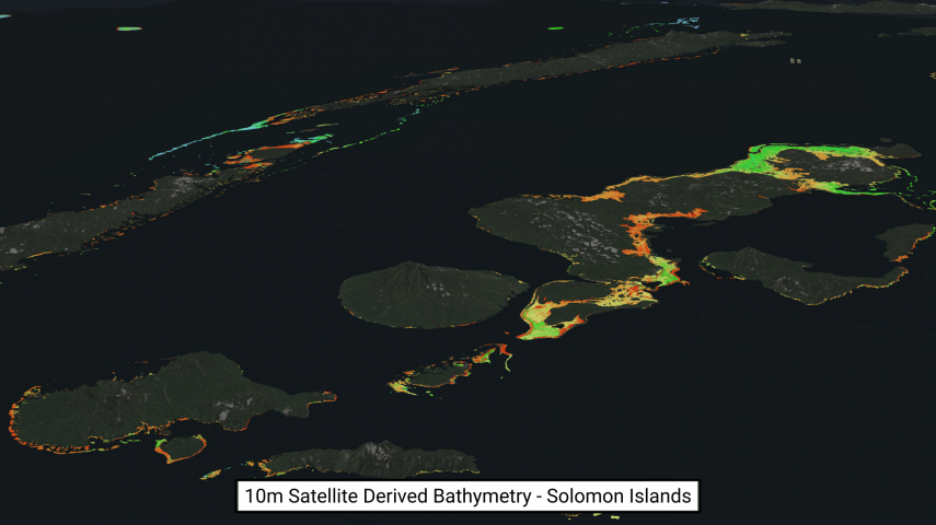
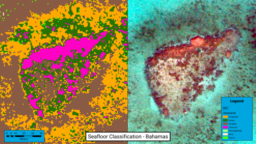
The TCarta product lines include high-resolution satellite-derived water depth and seafloor map products, as well as 90- and 30-metre GIS-ready bathymetric data aggregated from numerous information sources. TCarta recently unveiled the use of ICESat-2 Lidar datasets for use in SDB validation and the TCarta global satellite-derived bathymetry (G-SDB) off-the-shelf products, generated with machine learning and ICESat-2 laser data at 10m resolution.
This site uses cookies. By continuing to use this website, you agree to our Cookies Policy. Agree