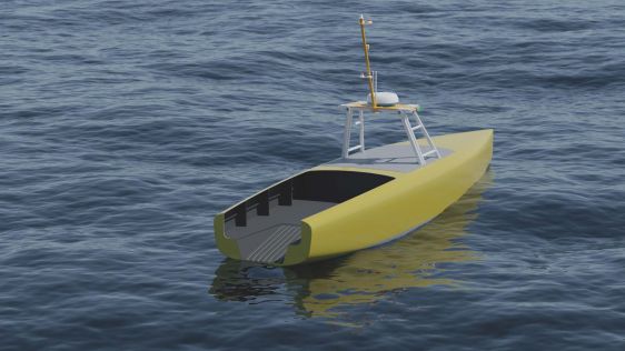
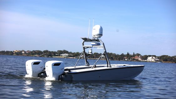
Zero USV confirms it is well under way with the build of its first two vessels following a highly successful edition of Oceanology International, where it announced its partnership with marine techno...
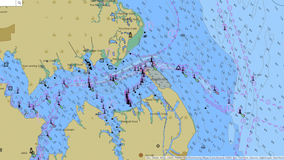
NOAA has announced that it will increase the frequency of nautical chart updates, with electronic navigational chart (ENC) updates becoming available for download Monday through Friday. These ENCs are...

Subsea service provider Argeo has signed a contract with Woodside Energy to execute the 2024 AUV geophysical survey for the deepwater Calypso field in Trinidad and Tobago. The work will be carried out...
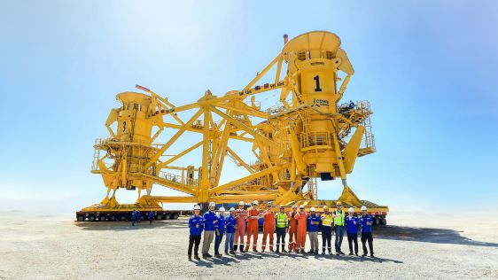
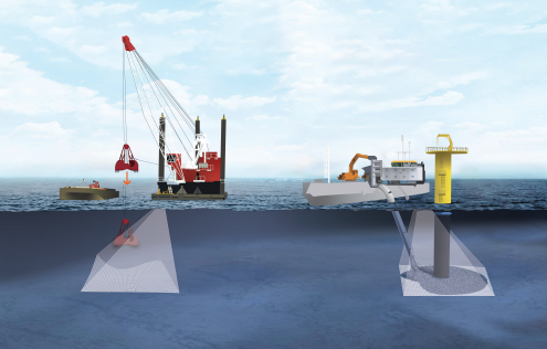
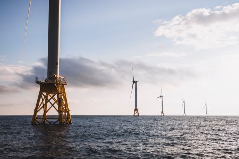
Seatools has announced the successful delivery and operation of its pre-piling template equipment to CSBC-DEME Wind Engineering (CDWE) for the Hai Long Offshore Wind Farm project. This milestone adds ...
AST Networks, a leading provider of land and maritime communication technology and remote connectivity solutions, expands its ecosystem further with the acquisition of Reygar, a principal provider of ...

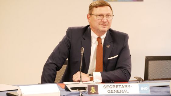
The UK Hydrographic Office (UKHO) has awarded Rear Admiral Chukwuemeka Ebenezer Okafor, former Hydrographer of the Nigerian Navy, the 2023 Alexander Dalrymple Award for his exceptional services to int...
Admittedly, the title of this column, formulated as a question, is deliberately provocative. The first reaction of those who read it and are interested in hydrography for professional reasons will pro...
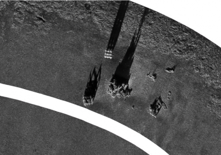
In an era of great power competition, unmanned maritime systems (UMSs) have begun to take centre stage and are now on an accelerated development path for reasons that are clear. Like their air and gro...
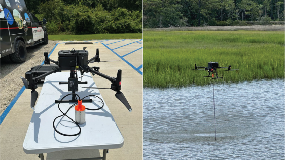
In the quest to unravel the mysteries beneath our planet’s water bodies, topobathymetric technologies emerge as a beacon of innovation. Among them, Lidar (light detection and ranging) and sonar sens...
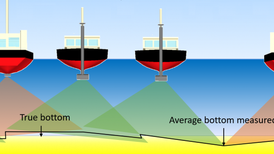
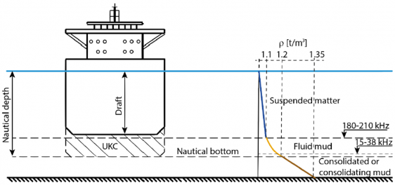
IHO standard S-44 is often used (or misused) to specify the quality of a hydrographic survey. While it is a useful tool, it is easy to misinterpret. One ‘misuse’ is to apply the IHO orders directl...
In a March 2023 blog, Microsoft founder, billionaire entrepreneur and philanthropist Bill Gates said: “The development of AI is as fundamental as the creation of the microprocessor, the personal com...
When contemplating the replacement of a research and survey fleet, a collective effort is required to meticulously curate an optimal new fleet, considering factors such as ship type, size, capabilitie...
By submitting this form, you agree to our Terms of Service and Privacy Policy .


We encourage you to subscribe to our weekly newsletter. Subscribers also receive a digital copy of our bi-monthly magazine.
This site uses cookies. By continuing to use this website, you agree to our Cookies Policy. Agree