Monitoring Ice From Space
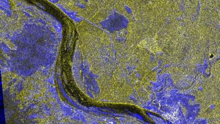
Starting 20th December 2010, ScanEx Center, Russia, has been carrying out satellite imagery of the process of ice cover formation on the rivers of the north of the European part of Russia and Siberia. During the freezeup period ice hummocking occurs within the limits of ice-hazardous areas, which during the spring flood may result in formation of ice jams and flooding of wide areas of the flood plain and of residential areas and facilities nearby.
Imaging has been conducted using SAR images delivered from RADARSAT-1 and ENVISAT-1 satellites. If needed, radar images of RADARSAT-2, TerraSAR-X and COSMO-SkyMed programs can also be used. These satellite imagery combine information with an affordable price.
ScanEx RDC and its partners have already developed methodical approaches to assess the ice conditions in ice-hazardous areas and to forecast the probability and area of flooding. Such approaches are based on the results of operational satellite-based monitoring of spring floods on large Russian rivers carried out in 2009 and 2010.


