CHC Navigation – How Unmanned Survey Vessels Benefit Bathymetric Survey Operations
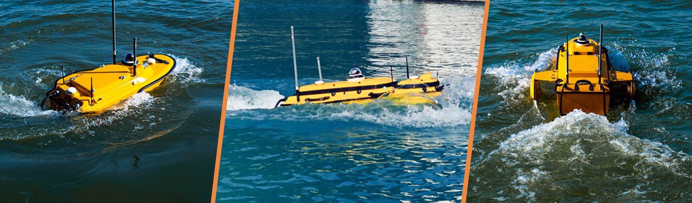
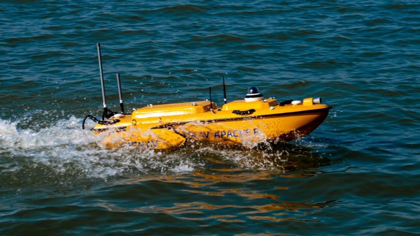
Marine unmanned survey vessels (USVs) such as the Apache benefit various bathymetric survey operatio...

CHC Navigation (CHCNAV) is a publicly listed company creating innovative GNSS navigation and positioning solutions. With a global presence across the world and distributors in over 120 countries, and more than 1,500 employees, CHC Navigation is today recognized as one of the fastest-growing companies in geomatics technologies.
CHC Navigation develops advanced geospatial technologies and provides a wide range of state-of-the-art solutions for land surveying, construction, GIS, hydrography and bathymetric survey, deformation monitoring, precision farming and 3D mobile mapping for mass data acquisition.
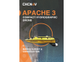
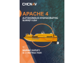
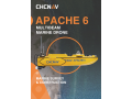
The Apache series consists of several integrated marine drone solutions for conducting bathymetric surveys, high-resolution hydrographic projects, current profiling, and water sampling in a fully autonomous manner. The Apache 3 is an unmanned portable vessel that provides a cost-effective solution for performing single-beam bathymetric surveys. The Apache 4 is specifically designed for current water profiling and is compatible with all major ADCP brands. The Apache 6 is a USV designed for high-resolution hydrographic surveys with integrated Norbit™ multibeam echo sounders.
The CHCNAV slogan perfectly summarizes the way our GNSS Positioning and integrated Navigation Solutions are designed to dramatically improve productivity and provide an outstanding return on investment for our customers and business partners.
CHC Navigation invites potential dealers to apply for cooperation. Our dealers have a choice to represent one or more products based on the potential customers’ needs in their region. We communicate openly and frequently, build mutual trust, and help generate larger gains for every dealer. For details, please fill out the form on our website https://chcnav.com/contact-us/become-a-dealer


Marine unmanned survey vessels (USVs) such as the Apache benefit various bathymetric survey operatio...

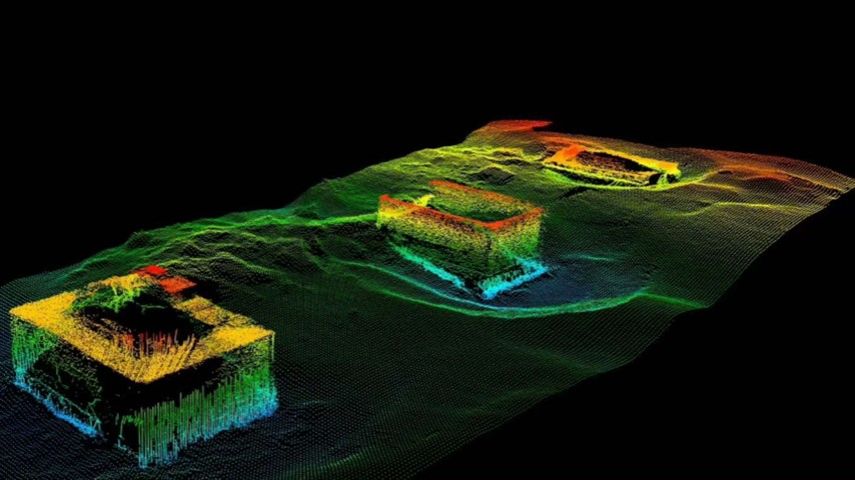
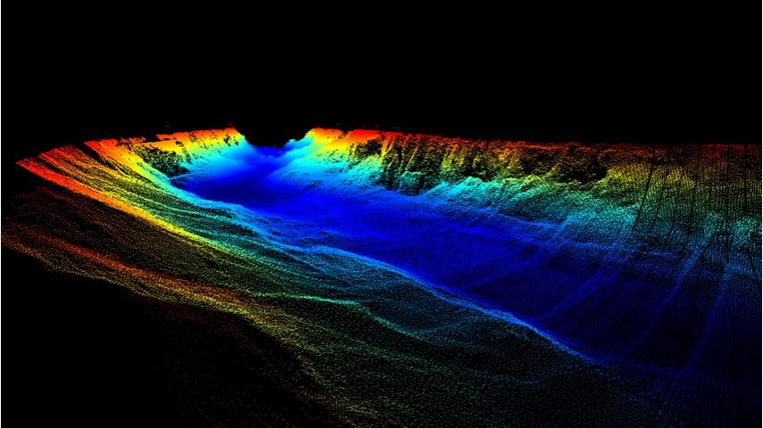
This paper explores the various features of the Apache USV series for efficient seafloor-level mappi...

CHC Navigation (CHCNAV) releases the P2 GNSS Sensor Series providing high accuracy positioning and h...

Find detailed technical information about the APACHE 6 and view brochures, videos and case studies and compare it with other similar products

Find detailed technical information about the APACHE 3 and view brochures, videos and case studies and compare it with other similar products

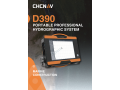
Find detailed technical information about the D390 echo sounder and view brochures, videos and case studies and compare it with other similar products

Find detailed technical information about the P2 Elite and view brochures, videos and case studies and compare it with other similar products
This site uses cookies. By continuing to use this website, you agree to our Cookies Policy. Agree