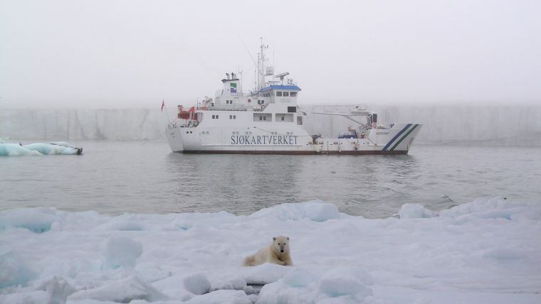
Caution Required When Using Nautical Charts of Arctic Waters
As members or associate members of the Arctic Regional Hydrographic Commission (ARHC) and as Member States of the International Hydrographic Organization (IHO), the government Hydrographic Offices of Canada, Denmark, Finland, Iceland, Norway, the Russian Federation and the United States of America wish to highlight the significant limitations and risks associated with marine navigation in the Arctic.
While official nautical charts are produced by government hydrographic offices and are based on the latest information available, substantial areas still rely on limited, outdated, or insufficient depth and other data.
Plan and Sail with Care
Due to the significant limitations of Arctic charting, all mariners in Arctic waters are required to plan well in advance of any prospective voyages, to understand their environment, and to exercise extreme caution when on the water, in order to minimise the associated high levels of risk. Caution is equally essential when navigating with Electronic Navigational Charts (ENC), as these official digital charts are based on the same limited or insufficient data as the official paper or electronic equivalent charts.
Navigating outside areas supported by modern or adequately surveyed data, and without advanced and comprehensive voyage planning, ice experience, knowledge, and precautions, can result in the loss of human life and severe damage to property and the environment.
To fulfil the relevant requirements of demonstrating that they have recognised and mitigated the risks, as well as exercised due diligence in the operation of their vessels, all mariners and ship operators should take note of the warnings set out here and in other references, including in the International Code for Ships Operating in Polar Waters (The Polar Code).
Interested readers are encouraged to contact the IHO Secretariat or the Hydrographic Offices of the ARHC Member States with any comments or feedback, as part of the efforts of the Arctic hydrographic community to improve safety of navigation and operations in the region.
More Information
- The Polar Code
- Arctic Regional Hydrographic Commission
- Risk-based Methodology for Assessing Arctic Charts:
- The Maritime Executive– Uncharted Waters: Cruise Ships Sail the Arctic by Reuters
- Marsh report issued March 2016 - Plumbing the Depths: Hydrographic Concerns for Modern-Day Large Vessels - HCA14-INF1


