Deepening collaboration: NOAA and University of New Hampshire’s Ocean Mapping Center
NOAA and the University of New Hampshire (UNH) recently announced that they are expanding a 24-year ocean and Great Lakes mapping partnership through the creation of a new Center of Excellence for Operational Ocean and Great Lakes Mapping.
“NOAA and UNH have a long history of collaborating to advance the latest technologies and tools to map our ocean, coasts and Great Lakes – a cornerstone of the blue economy,” said Rick Spinrad, NOAA administrator. “Our continued partnership on the Center of Excellence will help build a workforce ready to tackle the mapping challenges of the future, and further our understanding of our changing ocean and coasts.”
“The University of New Hampshire’s world-class Center for Coastal and Ocean Mapping and Joint Hydrographic Center has led the way in ocean mapping for more than two decades, helping ensure safe marine transportation and understanding of coastal hazards. This leadership is affirmed by NOAA locating a new Center of Excellence for Operational Ocean and Great Lakes Mapping on UNH’s campus. With this US$8 million NOAA grant I helped secure, New Hampshire’s ongoing research and training programmes will remain ahead of the curve in this leading field,” said Senator Jeanne Shaheen, chair of the Senate Appropriations subcommittee that funds NOAA.
Advancing ocean mapping knowledge
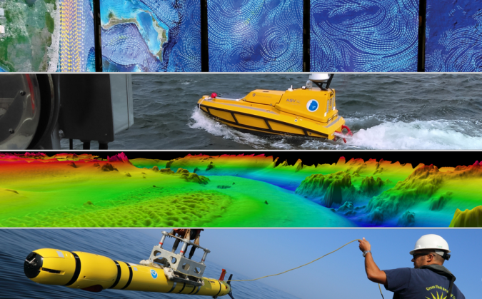
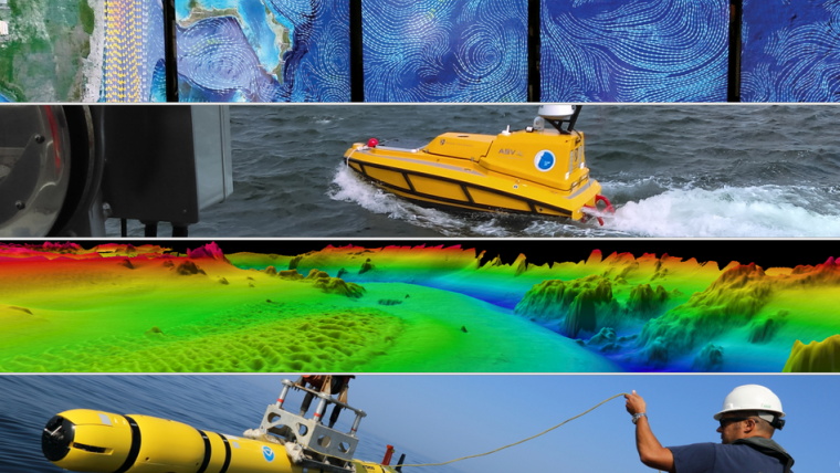
The Center of Excellence is funded through US$10 million in NOAA’s FY 2023 budget, and will complement existing research, technical expertise and advanced educational programmes at the NOAA-UNH Joint Hydrographic Center and UNH’s Center for Coastal Ocean Mapping. The Center of Excellence will focus on the following priorities: delivering practical hydrographic training and fostering workforce development for ocean mapping operations, providing technical expertise and systems support for NOAA’s mapping operations on an increasingly diverse set of platforms, including new ships and uncrewed survey vessels, and partnering with academia and industry to transition ocean mapping research to operations.
“Accurate and up-to-date maps of our ocean, coasts and Great Lakes are critical to maritime commerce, transportation and recreation, and directly support resilient coastal communities,” said Nicole LeBoeuf, director of NOAA’s National Ocean Service. “This new Center of Excellence will build on existing collaboration with UNH as we implement cutting-edge mapping technology and train the next generation of ocean and coastal mapping professionals.”
“NOAA’s Office of Coast Survey is excited to work with the University of New Hampshire as we develop and operate the Center of Excellence for Operational Ocean and Great Lakes Mapping,” said RDML Ben Evans, director of NOAA’s Office of Coast Survey. “This Center will amplify our efforts to transition research to operations, provide technical support to our fleet, and generate, develop and diversify our mapping workforce, all in collaboration with our academic, public and private sector partners.”
Breeding ground for innovation
A portion of the funding will be used by UNH to construct a new, state-of-the-art ocean mapping facility that will serve as the focal point of a campus innovation hub to bring together academia, industry and government. The new facility will include office and instructional space, as well as a large, high-ceiling area with overhead cranes – known as a high bay – for storing, outfitting and staging bulky equipment and small vessels. Upon completion, the facility will provide a shared space for collaboration between NOAA staff from the Joint Hydrographic Center and Center of Excellence, UNH faculty and staff and ocean industry partners.
“The Center of Excellence will build upon our decades-long partnership with NOAA, as well as grow the critical research field of ocean and Great Lakes mapping, where we can engage with industry leaders to develop and train the next generation of mappers,” said Marian McCord, senior vice provost for research, economic engagement and outreach at the University of New Hampshire. “NOAA will anchor UNH’s new mixed-use complex, The Edge, which will be the core of activity for faculty, students, industry and government to come together, share ideas and execute cutting-edge concepts.”