Digital Marine Mapping Data for the Worldwide Market
OceanWise invites expressions of interest from suppliers of geographic information wishing to market and distribute marine and coastal data to the engineering, environmental and location-based services sectors. As its twelve-month exclusive arrangement with GeoStore comes to an end, OceanWise plans to extend its network of distributors in order to maximise opportunities and market growth worldwide.
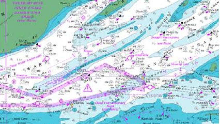
The data products comprise raster images of the well-known and popular Admiralty Chart series, marine topographic mapping and seabed surface models created and maintained by marine data specialists OceanWise.
The data products are optimised for use in desktop, portable and web-based geographical information systems.
For interested distributors, the ability to expand existing markets and introduce OceanWise products and value added services to emergent markets in the marine and coastal sectors both in the UK and overseas is a prerequisite of successful selection. The capacity to provide customers with view services (e.g. WMS) on a subscription basis is an important consideration.
Raster Charts comprises the popular Admiralty Chart series, supplied as separate image files for easy loading and use in Geographical Information Systems (GIS). The data is supplied in GeoTIFF format as individual charts for different geographic areas at discrete scale levels. Raster Charts are available for UK and oversea waters.
Marine Themes comprises authoritative data from the UK and other hydrographic offices and includes the following vector datasets: Elevation; Shipwrecks and Obstructions; Transport; Industrial Facilities; Administrative and Management Units; Geographical Regions. These datasets provide a comprehensive marine map and are suited for applications where features need to be selectively displayed or analysed to create derived outputs or as a reference base for alternatively sourced or additional data layers. Symbology is provided as standard (e.g. Esri Layer Files) and is free of charge meaning that the data is ready for immediate use in GIS.


