Geotechnical Investigation for Navitus Bay
UK-headquartered Coastline Surveys has completed a geotechnical investigation of the seabed cable route at the proposed Navitus Bay offshore wind park, off the south coast of England. The company provided geotechnical expertise to examine the viability of the proposed cable route that will transport energy from the wind park to shore.
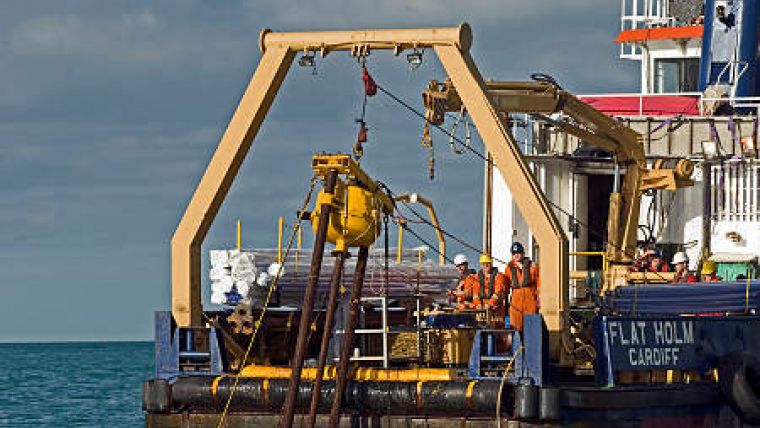
Utilising its own 24m survey vessel, MV Flatholm, along with their C-COREHP vibrocorer, Coastline Surveys successfully completed sampling at 22 locations along the planned route for the cable. The route runs from the shoreline to approximately 12 miles off shore.
A key requirement for Navitus Bay was the acquisition of high-quality samples for environmental and potential archaeological analysis. Navitus Bay required undisturbed quality samples where possible, but particularly around the palaeochannels, where fine grained material and peat deposits were also expected.
Real-time penetrometer
Coastline Survey’s C-COREHP unit has a real-time Penetrometer fitted to it, to monitor the rate of penetration during sampling. In areas of softer loose sediments as it allowed the geotechnical team to recover high quality samples with reduced disturbance.


