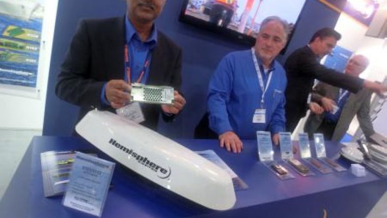
Hemisphere GPS Vector GPS Compass
At the Oceanology International exhibition and conference in London, UK, Hemisphere GPS has announced the introduction of its Vector V103 GPS compass and Vector V113 GPS compass, both designed for professional, commercial marine and machine control applications.
Powered by Hemisphere GPS’ Crescent Vector II technology, the new Vector V103 and V113 provide precise heading and positioning performance including heave, pitch, and roll with the option of either NMEA 0183 or NMEA 2000 communications. The rugged enclosure gives these Vector models the advantage of working reliably in such harsh environments as side-scan survey, multi and single beam surveys, dredging, general navigation and machine control applications including agriculture, heavy construction, mining, cranes, seismic drills, and auger rigs where accurate heading and positioning are essential. They are also ideal for harbour pilots and tug boat operators. The versatility of Vector V103 and V113 in providing heading, position, depth and motion makes them directly compatible with the most popular hydrographic and side scan survey packages and easily connected to chart plotters.
The Vector V103 and V113 rugged smart antennas combine Hemisphere GPS’ Crescent Vector II OEM module and two superior multipath and noise rejecting antennas (spaced 50cm apart) into a single enclosure that requires only a power/data cable connection. This allows for fast and reliable installations, even in the presence of strong radio transmissions. These Vector models deliver 0.3 degree heading accuracy along with sub-meter DGPS positioning accuracy, providing class leading accuracy for all in one GPS compasses.
The Vector V113 includes all the features of the V103 and adds the capability of receiving differentially corrected data from land-based beacon stations. Both models also support differential corrections from Space Based Augmentation Systems (SBAS) such as the U.S. Wide Area Augmentation System (WAAS), the European GPS Navigation Overlay System (EGNOS), and Japan's Satellite Augmentation System (MSAS) that enables it to compute sub-meter positioning. Simply plug either Vector into a NMEA 2000 network for plug and play operation, or the NMEA 0183 interface for IMO type approved True Heading Device applications. Ease of installation and no maintenance or servicing are two features that highlight the simplicity of these new Vector models.
Vector V103 and V113 can be seen on the Hemisphere GPS booth (booth number I500) at the Oceanology International exhibition and conference in London, UK, from 13- 15 March.


