High-res Current and Wave Mapping
Helzel Messtechnik is the German manufacturer of the remote ocean sensing system WERA. The shore-based ocean radar “WERA” provides reliable data of ocean surface currents and significant wave height and direction over long distances (> 200km) with outstanding spatial and temporal resolution for VTS, SAR and environmental protection applications.
As WERA is modular and broadband, it can be operated at very low frequencies to provide very long ranges or at the upper HF band (30MHz) with a resulting range of 50km. This product family is now extended by a VHF instrument operating up to 50MHz providing highest resolution (down to 100m range cell size) for ranges up to 20km.
The very high operating frequency results in short array: < 20m for 8 antennas (beam forming mode) or < 3m for 4 antennas (direction finding). It is easy to install and can be part of a rapid deployment mobile unit housed in a van or trailer.
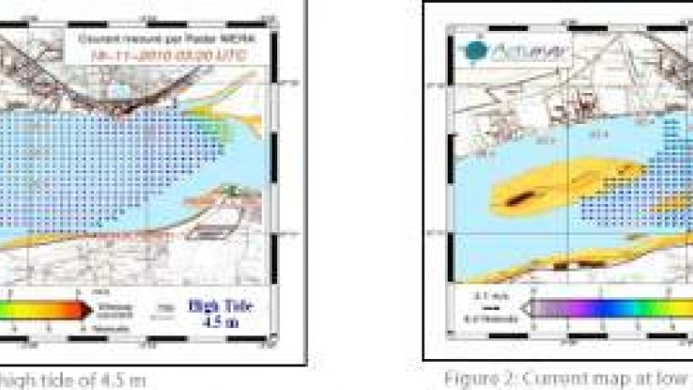
Such a mobile station has been recently installed for two months in France near the river Loire estuary close to St. Nazaire. Examples of the resulting current maps measured with a pair of 12 antennas, 43MHz WERA systems are displayed in the illustrations.
A pair of stations is required to provide high quality 2-D vector maps. However, even a single station can provide 2-D current vectors but with reduced spatial resolution.


