How Are Satellites Used to Observe the Ocean?
Satellites are amazing tools for observing the Earth and the big blue ocean that covers more than 70% of our planet. By remotely sensing from their orbits high above the Earth, satellites provide us with much more information than would be possible to obtain solely from the surface.
Using satellites, NOAA researchers closely study the ocean. Information gathered by satellites can tell us about ocean bathymetry, sea surface temperature, ocean colour, coral reefs and sea and lake ice. Scientists also use data collection systems on satellites to relay signals from transmitters on the ground to researchers in the field – used in applications such as measuring tidal heights and the migration of whales. Transmitters on satellites also relay position information from emergency beacons to help save lives when people are in distress on boats, aeroplanes or in remote areas. This article zooms in on just a few of the many ways that satellites help us to learn more about our ocean.
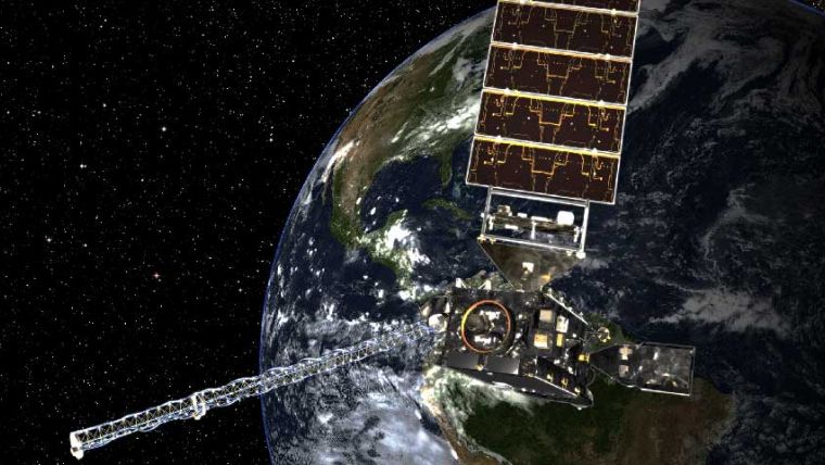
Knowing the temperature of the sea surface can tell scientists a lot about what is happening in and around the ocean. Temperature changes influence the behaviour of fish, can cause the bleaching of corals, and affect weather along the coast. Satellite images of sea surface temperature also show patterns of water circulation. Examples include locations of upwelling, characterized by cold waters that rise up from the depths, often near the coasts; and warm water currents, such as the Gulf Stream. The most commonly used instrument to collect sea surface temperatures is the Visible Infrared Imaging Radiometer Suite (VIIRS) instrument aboard the NOAA/NASA Suomi NPP satellite. This sensor captures new data every day, allowing scientists to piece together series of maps that show sea surface temperature variations over time for different regions around the globe.
Read the full story at the NOAA National Ocean Service website.
Source: NOAA/National Ocean Service.


