Hurtigruten Starts Using PRIMAR ENC
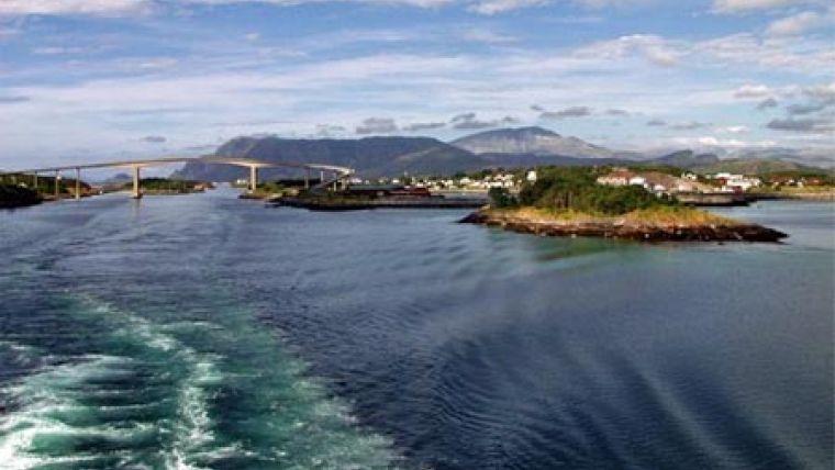
Hurtigruten have selected the PRIMAR ENC service as its source for electronic navigational charts (ENCs), taking advantage of the fact that the Norwegian coast is fully covered. Hurtigruten has been an integral part of Norwegian coastal life for over a century, crossing the Arctic Circle to sail deep into the heart of spectacular landscapes along some of the worlds most complex sea areas for safe navigation - facing all types of weather and conditions.
Hurtigruten is known world-wide for its exceptional cruises - with the most well liked navigating along the 1,250-mile western coast of Norway above and below the Arctic Circle, stopping at small fishing towns and important cities.
In a statement congratulating Hurtigruten, Gerry Larsson-Fedde, the Norwegian Hydrographer commented "We are delighted that Hurtigruten has started to use the PRIMAR ENC service. In my view Hurtigruten stands for a long tradition of professional navigation on one of the most challenging coastline in the world." Norway has available some 932 ENC charts available, fully integrated into the PRIMAR ENC service, available from 54 distributors worldwide.


