Insurers Use Flood GIS Data
Representatives from some of Britain's leading insurers were given an insight into the power of Ordnance Survey information at a special event focusing on flood risk. Directors, managers and specialist underwriters were among a 100-strong audience at a ‘flooding question time' held by the national mapping agency and Insurance Times.
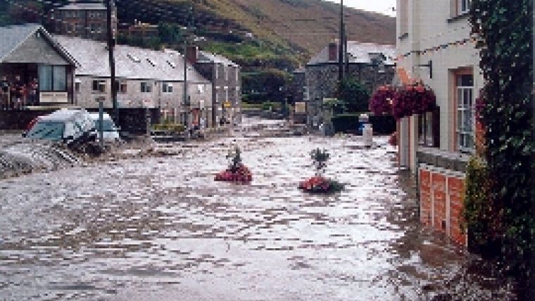
High on the agenda were the risks and challenges posed by the severe floods that affected large parts of England during the summer. Emergency mapping from Ordnance Survey helped with vital decisions during the floods, such as which properties to evacuate in the most at-risk areas.
The potential for Ordnance Survey information to support both risk assessment and longer‑term catastrophe planning was highlighted by Ordnance Survey's Director of Customers and Market Development, James Brayshaw, a civil engineer and one of four expert panel members.
Mr Brayshaw outlined the collaborative work involving Ordnance Survey, the Environment Agency, the Met Office, the UK Hydrographic Office and other bodies designed to help assess the impacts of changes in flood frequencies, flood magnitudes and sea levels. Ordnance Survey has provided the topographic data for the creation of high-precision terrain models and structured digital river networks. This should lead to both better flood response and planning for the future.
The event, held at the City Presentation Centre in London, also looked at issues around data sharing, government information standards and the benefits to insurers of using intelligent databases. Other panel members included Swenja Surminski, policy adviser on climate change at the Association of British Insurers, and Alan Gairns, Development Manager for Property Underwriting at Royal & Sun Alliance.
After the question time session the audience saw various demonstrations of how Ordnance Survey information can help analyse flooding down to individual property and address level.


