Geotechnical Profiling System for Deep-sea Soil Characterisation
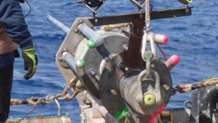
dotOcean, Belgium, has designed a geotechnical profiling system, the Deep Sea GraviProbe. The system is capable of collecting data at 5,500m depths and has a measurement resolution of 100Pa. The system’s cone is lowered in the underwater sediment layer, analysing those layers during intrusion. Under its own weight it penetrates loose and consolidated mud layers, measuring dynamic tip resistance as a QC value.
The data acquired from the cone, on-board accelerometers, inclinometers and pressure sensors is determining the geotechnical parameters of the intruded medium (QC over depth and Su over depth).
Integrated Data Storage
The instrument has been developed for simplicity in use. A regular A-frame can be used for the deployment and there is no need for a dynamic positioning vessel. As the Deep Sea GraviProbe stores the data internally, it does not need a data cable.
This approach results in a rapid deployment and in a high data collection rate. One measurement requires 10 seconds according to dotOcean, so in a single day data of more than 100 measurement points can be collected. These factors increase the cost effectiveness of a deep sea operation. The instrument is complementary with classic seabed CPT's and gathers strength information of seabed intrusion depths from 0 to 4 metres at operational depths from 1 to 5,500m.
The profiler can gather information on the deep sea seabed to support offshore construction, anchoring, manifold and cable installation.


