Law Student to Map Unexplored Parts of Atlantic Ocean
Third-year Penn State Dickinson Law student Ryan Marr believes in taking advantage of opportunities that come his way. From studying in Tanzania to travelling to Bermuda, he says “yes” to any chance to see the world or learn something new.
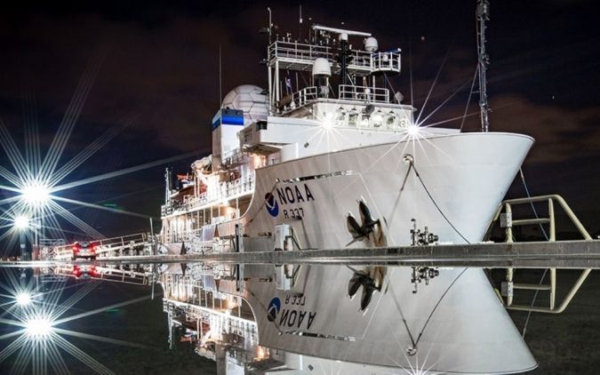
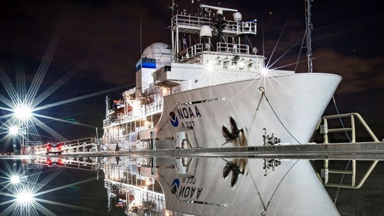
So, when he was invited to participate in a project mapping an unexplored patch of the ocean floor with the National Oceanic and Atmospheric Administration (NOAA), Marr quickly signed up. He set sail on 16 August from Newport, Rhode Island, and arrived in Cape Canaveral, Florida, on 2 September.
“I have received a lot of questions like ‘Why did you do this?’, and ‘What was the thinking behind going on this trip?,” said Marr. “Lawyers and legal students should not be scared to do internships or pursue experiences unrelated to the law. I think anytime you are able to speak from a position of experience rather than one of simply conjecture or what you have read in a brief, that makes you not only a more effective lawyer but also a better representative for who you work for.”
Acoustic Exploration Mapping
The NOAA project, titled 2021 U.S. Blake Plateau Mapping, aimed to map parts of the ocean that had never been explored. It included 24-hour-a-day acoustic exploration mapping throughout U.S. waters off the East Coast, many deeper than 200 metres. The voyage focused on the Blake Plateau, which averages a depth of more than 800 metres.
“The greater goals with the mapping are ocean stewardship and preservation. We are looking at those unique habitats because we have absolutely no information on these areas,” said Marr.
Marr had gone on an ocean mapping expedition previously. In 2018, he participated in a similar project mapping the deepwater areas south-east of Bermuda. At the time, Marr was enrolled in a Master’s programme in maritime history and underwater archaeology. He kept in touch with his expedition leader on that voyage, who offered him the chance to participate in this summer’s mapping project.