Marine Data Management Software
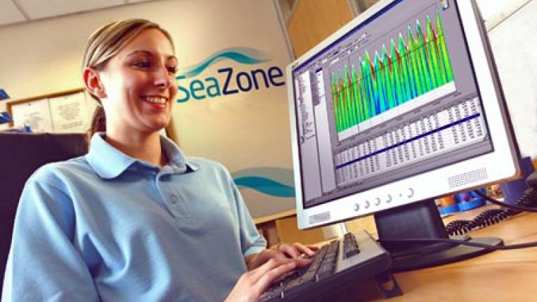
Ocean Business 2009 will see the launch of a software solution designed for the management of marine information. SeaZone's GeoTemporal software allows import, processing and presentation of marine data from multiple sources. It then creates standard formatted data so that the information can be used in different Geographic Information Systems (GIS). Previously only specialist software programs had existed and offered limited data interchange capability.
SeaZone GeoTemporal represents a second generation of software allowing the management of a wide diversity of data with greatly improved levels of interoperability. This ensures marine information can be made widely available for further use in GIS and other systems such as 3D modelling. SeaZone GeoTemporal is aimed at marine surveyors, engineers, data managers and consultants and the software will replace ADPC Processing Suite, SeaZone's current data management system.
SeaZone GeoTemporal manages tidal datasets and other oceanographic information including data from instruments such as Acoustic Doppler Current Profilers (ACDPs) and datasets from modelling systems. The added flexibility adds allows users to quality control, analyse and present complex survey and environmental monitoring data and the software allows users to add custom tidal data and links to external databases. With accessibility extended to the GIS environment, the data will benefit from further processing, manipulation and dissemination.


