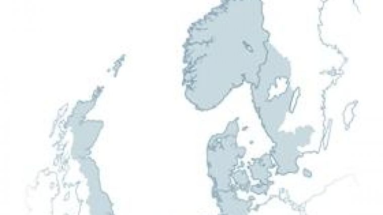
Marine Mapping for the North Sea
SeaZone is leading the Bringing Land and Sea Together (BLAST) Work Package 3 - The Marine and Coastal Reference Base. This Working Group addresses the needs of marine spatial planning, environmental protection, socio-economic development, risk management and mitigation, by delivering harmonised land and sea geographic datasets. This specific project is part of the BLAST project which contributes to the ‘The North Sea Regional Programme 2007 - 2013' (INTERREG IVB) led by Christian Byrith.
SeaZone's main purpose of the project is for the development of Marine and Coastal Base Reference Information, or digital base map for the North Sea. There are a vast number of disparate datasets and data providers that are important in the context of marine and coastal applications. SeaZone's core focus is on the development and harmonization of "Reference Information" to a consistent standard. Reference Information is broadly considered to be geographic datasets principally used in the widest number of marine applications the majority of the time.
At present, North Sea nations manage geographic data independently, and within each nation there is little integration of geographic data over land and sea. Geographic data that does exist, is often managed with consideration only for the internal use requirement of the managing organisation. This fails to address the wider end user requirements. End users are often required to acquire geographic data from various separate sources, a practice that is typically uneconomical. Owing to their primary internal use requirements, it is unusual to find that data is managed to standards of industry best practice, meaning that the data often prompts as many questions as it does provide answers. In many instances, geographic data is difficult to find, and if finally obtained by end users, this data typically requires considerable reprocessing.
The creation of Marine and Coastal Base Reference Information will be achieved by working with BLAST Project Partners and marine and coastal data providers around the North Sea to facilitate making geographic data available for the widest possible use. Once the data is made available, its geometry and attribution will be standardized and harmonized, removing the requirement for end users to reprocess the data. This will deliver significant time and cost savings to end users.
Once the Base Reference dataset has been completed, consideration is then to be given to the coastline. The limits of geographic data capture and maintenance by a single organisation in many instances lies at or about the coastline. Where data are managed across the coastline, it is often done without ongoing collaborative management between marine and terrestrial mapping authorities. As such, the mismatch at the coastline is considerable in most cases. This project aims to develop strategies and implement the harmonizing of the various base reference datasets at specific coastlines in Norway, Denmark, Belgium and United Kingdom, thereby ensure that long term maintenance of these datasets to a consistent standard.


