New Bathymetry in Google Earth
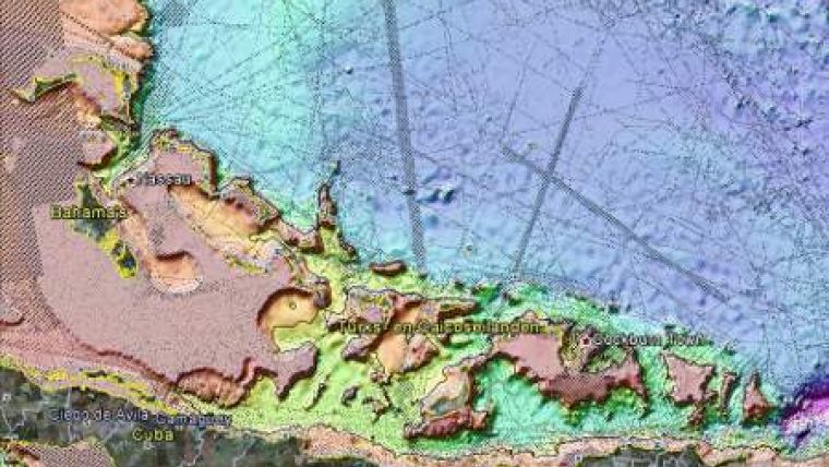
On 11th January 2012, Google replaced its global bathymetry SRTM30_PLUS V4.0 with the newer version V7.0. This has increased the area of seafloor covered at 1km resolution from 10% to 15%.
The new version also corrected thousands of errors in the old data. By visiting Google Earth, you can use the 'historical imagery' flag to see old versus new. The SRTM30_PLUS V7.0 overlay can be downloaded from the site of Scripps Institute of Oceanology (follow the link below) to see the trackline coverage and confirm that there is a perfect match.
This KLM File shows some improvements and differences, like Atlantis being less clearly visible, the improvements offshore Ireland and the Mariana Trench, as well as in the Californian Gulf, Great Barrier Reef and the Clarian fracture zone in the Pacific. Also a sea mount that was vague now is made visible.
Download updates-google-bathy-2012v7.kmz
Download updates-google-bathy-2012v7.kmz


