NOAA Formally Joins International Effort to Map Ocean Floor
NOAA Administrator Rick Spinrad has signed a memorandum of understanding in conjunction with the United Nations Ocean Conference that formalizes U.S. participation in Seabed 2030. The memorandum also describes best practices and protocols for this type of data collection, which will help build positive collaboration between all involved countries and partners.
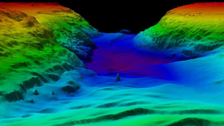
As of 2022, 23.4% of the ocean is mapped, reflecting an increase of 10.1 million square kilometres (almost 3.9 million square miles) of new bathymetric data from 2021. The new number represents contributions from a wide and diverse group of stakeholders, including various nations, government agencies, private companies, philanthropic partners and academic institutions.
NOAA and Seabed 2030: A Natural Fit
In many locations, seabed mapping is done close to shore to enhance national security or protect a particular country’s economic interests. NOAA's mission – to understand and predict our changing environment, from the deep sea to outer space and to manage and conserve U.S. coastal and marine resources – makes participation in Seabed 2030 a natural fit. As a part of the Department of Commerce, NOAA holds key leadership roles in shaping international ocean, fisheries, climate, space and weather policies.
All collected data will be available to the public via the NOAA-hosted International Hydrographic Organization Data Center for Digital Bathymetry. Anyone who follows appropriate protocols can contribute data to this effort, including private companies.


