Oceanographic and Oil Spill Tracking Buoy
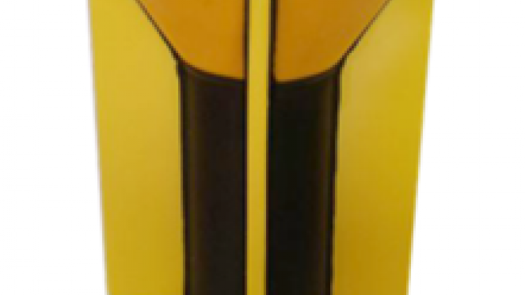
Fastwave (Australia) has commercially released the Voyager satellite tracking buoy, after an extended period of development and testing. The Voyager provides near-real-time ocean current, sea surface temperature and oil spill tracking data via Iridium satellite telemetry. The hull design and low freeboard ensures close coupling with the ocean surface layer and minimises wind influence, ensuring accurate tracking of the surface layer.
The Voyager is simple to operate and deploy, making it suitable for oil spill response and search and rescue missions. It is also suitable for extended oceanographic studies, being capable of sending a report every four hours for up to twelve months. The battery pack is user replaceable and flyable. Robust construction allows the Voyager to be dropped overboard from vessels and offshore platforms, or deployed from aircraft using a parachute.
The Voyager delivers data to Fastwave’s secure servers, where it is accessible through an on-line data management portal, or reports can be delivered directly to client GIS and oil spill modelling systems for further processing. The Fastwave management system enables clients to send commands to the Voyager to change reporting intervals or geo-fences to be set up.
Since being released, Fastwave has received orders for the Voyager from Australia’s largest offshore oil and gas operators as part of their oil spill response planning. Fastwave has been supplying oil spill and ocean current tracking buoys to the maritime community since 2005.


