RIEGL reveals pair of advanced topobathymetric scanners
RIEGL has announced the launch of two innovative topobathymetric scanners. These advancements mark a shift towards enhanced efficiency and precision in data collection across land and water interfaces.
The RIEGL VQ-860-G debuts as an elite topobathymetric airborne laser scanner. This solution boasts heightened depth penetration capabilities, making it suitable for surveying inland and near-shore waters where high-efficiency operation is required. Despite its compact design, it operates in a broad operational range, offering flexibility in flight altitudes from 75 metres to 600 metres above the water surface. With measurement rates of up to 100kHz and a scanning speed of up to 100 scans per second, this device sets a new standard for meticulous data capture.
The RIEGL VQ-840-GE expands on the renowned VQ-840-G series and is designed for seamless integration into unmanned aerial vehicles (UAVs), crewed helicopters and stabilized platforms. Its compact and robust construction ensures adaptability across various operational scenarios, catering to a diverse range of surveying needs.
Coastal mapping and inland water surveying
Airborne Lidar bathymetry (ALB) emerges as the technology of choice for coastal mapping and inland water surveying. ALB facilitates the seamless collection of datasets that extend across land and water interfaces, enabling high-resolution surveys of both above- and below-water topography with exceptional efficiency.
The introduction of both Lidar solutions underscores RIEGL’s ambition to provide operational flexibility to professionals across the hydrographic surveyor sector and adjacent fields, empowering them to achieve their objectives with precision and efficiency.
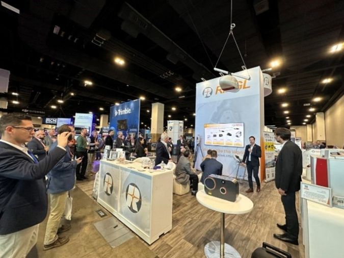
The scanners take centre stage at Oceanology International, to be held at London’s ExCeL from 12–14 March 2024. Attendees can anticipate first-hand demonstrations and insightful discussions, offering a glimpse into the future of coastal mapping and water surveying.


