Saildrone’s New Ocean Mapping HQ to Support Florida's Blue Economy
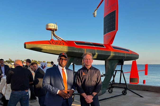
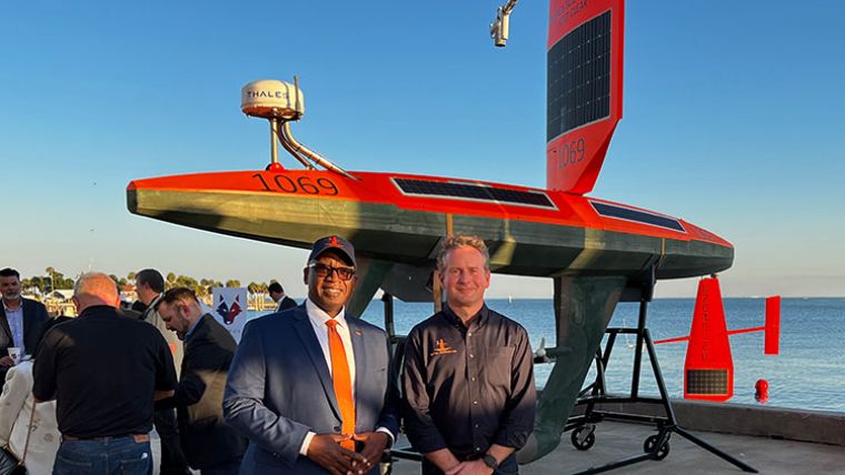
Saildrone has announced the opening of its new Ocean Mapping Headquarters and Operations Center in St. Petersburg, Florida. As the global leader in autonomous ocean data collection and comprehensive turnkey data solutions for maritime security, ocean mapping and ocean data, the new location will significantly expand Saildrone’s presence in the south-east U.S.
Situated in the new Maritime and Defense Technology Hub, part of the St. Petersburg Innovation District, the location will be a permanent deployment site for Saildrone missions. Saildrone hopes to bring all the benefits of its proven technology and uncrewed surface vehicles (USVs) to support critical local initiatives such as the Florida Coastal Mapping programme, whose mission is “accessible, high-resolution seabed data of Florida’s coastal waters to support infrastructure, habitat mapping, restoration projects, resource management, emergency response and coastal resiliency and hazard studies for the citizens of Florida.”
The Value of Florida’s Blue Economy
“We are thrilled to announce our new Ocean Mapping Headquarters in St. Petersburg. New high-resolution maps of the seabed are essential to help Florida protect communities, grow its blue economy and facilitate sustainable aquaculture and alternative energy,” said Saildrone founder and CEO Richard Jenkins. “Uncrewed systems can do far more, with far less investment than traditional approaches, so we are excited to play a role in bringing a brighter future to Florida.”
“According to the Florida Ocean Alliance, Florida’s blue economy in coastal counties generated more than US$797 billion of economic value, or 77% of the state’s more than US$1 trillion economy, in a single year,” said Saildrone vice president for ocean mapping Brian Connon. “It is essential that this region is well understood and protected.”
Modern Ocean Mapping
Saildrone has a strong interest in the region and made global headlines in September 2021 for capturing the world’s first video from inside a category 4 hurricane while collecting critical data to help scientists understand hurricane intensification. After demonstrating its capabilities with the world’s first autonomous ocean survey mission from San Francisco to Hawaii in July 2021, Saildrone is confident that modern ocean mapping and a better understanding of the landscape beneath the ocean will help protect human health and infrastructure. Saildrone also plans to deploy maritime security missions from the Hub, helping authorities tackle challenging issues on the water, such as illegal fishing, which cost the global economy billions each year, and the trafficking of drugs that are devastating communities across the nation.