SeaZone Launches Coastline Mapping Improvement Programme
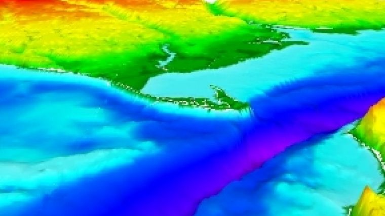
SeaZone Solutions has completed the first pilot area as part of its ongoing Coastline Mapping Improvement Programme (CMIP). This is set to change the understanding of the relationship between land and sea. Using CMIP will resolve the serious inconsistencies arising from coastline data that is generated in different ways by the United Kingdom Hydrographic Office (UKHO) and Ordnance Survey (OS) Great Britain.
The UKHO and OS have, since the 18th century, independently created their own datasets using different methods, policies and techniques and ultimately for different purposes. Using CMIP will make it possible to deliver marine data that is completely interoperable with Ordnance Survey MasterMap Topography Layer. It will re-engineer the dataset of the current SeaZone Hydrospatial product (the first true digital marine geographic information) to selectively match MasterMap features up to and offshore from the MasterMap defined Mean High Water Shoreline. This is the line most recognised as the boundary of separation between marine and terrestrial datasets.
The Coastline Mapping Improvement Programme (CMIP) pilot dataset, which covers the area of the Thames Gateway, is currently being evaluated. On completion, SeaZone will be implementing CMIP for other areas of Great Britain and considering additional pilot areas within Ireland and other parts of Europe. Completed areas will become standard within SeaZone Hydrospatial, fulfilling SeaZone’s aim to create digital mapping for the marine environment integrated with land mapping within the coast zone.


