Using ocean radar for offshore infrastructure surveillance
The topic of surveillance of civil offshore infrastructure is becoming an increasingly significant issue in Europe. For this reason, it is important to know that the operational civil ocean radar systems can be upgraded to monitor ship activities far behind the horizon.
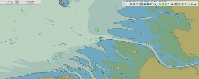
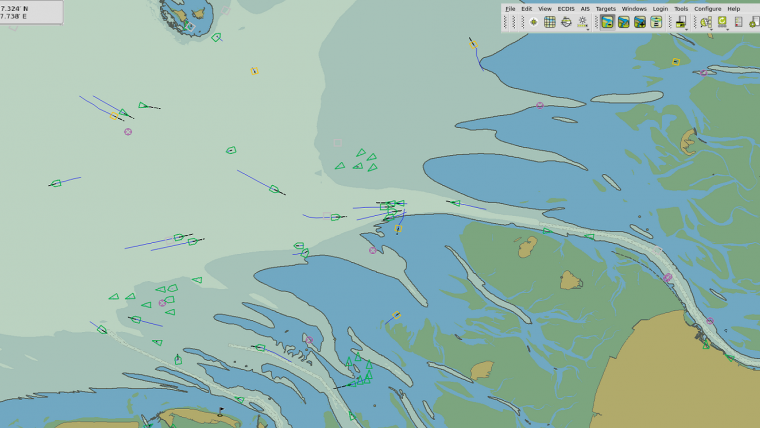
Several WERA ocean radar systems are located on the European coastline. In particular, the systems at the German Bight, the Dutch North Sea coast and the French and Italian coast are well suited for this technical application.
The WERA ocean radar is classified as a dual-use system because it is suitable for over-the-horizon ship detection and tracking. It can be used for the surveillance of very large areas of the coastal ocean to identify suspicious ship manoeuvres.
Exclusive economic zone surveillance
About ten years ago, Helzel developed a specific product for this surveillance application: the Helzel OTHR. This OTHR system provides ship tracking for ranges of up to 200 nautical miles and is already in use in Asia and Africa. The main application is the surveillance of the exclusive economic zone (EEZ) to detect illegal fishing activities or other suspicious activities such as smuggling or piracy and of course threats to offshore infrastructure.
To extend an existing WERA ocean radar for this ship tracking application, the systems may need to be refurbished and extended to 16 receive channels. The data of the WERA system on Wangerooge, Germany is already being used to test this feature. This technology should be of interest to all countries with infrastructure on their coast. For new installations, the OTHR systems are best suited for these surveillance applications.
It is worth mentioning that the military OTHR system can also be used for civil applications. These dual-use applications include ocean current monitoring for environmental protection and search and rescue.