Found 4576 results
Sort by

The role of satellite-based mapping in hydrography

By harnessing capabilities of advanced satellite technology and ever-evolving data analysis, satellite-based mapping (including satellite-derived bathymetry, SDB) offers an efficient, extensible and cost-effective method for mapping water properties, underwater topography...

Read more

High-definition Imaging Sonar

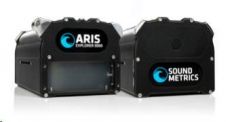
US-based Sound Metrics has launched its newest product, the ARIS Explorer line of high-definition imaging sonar. The device offers detailed and video-like resolution. There are three ARIS Explorer models: the...

Read more

Large Imaging Sonar Order

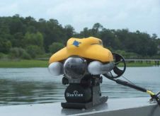
BlueView Technologies has received an order for one hundred (100) high-resolution P Series Imaging Sonar systems. In the coming months BlueView will deliver the compact, low-power 900kHz imaging sonar systems...

Read more

Salman Bashit

Salman Bashit, an urban planning graduate from Khulna University in Bangladesh, is currently furthering his education in Geoscience at Mississippi State University. His academic and professional journey is marked by...

Read more