UK consortium secures backing to improve marine biodiversity monitoring
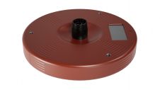
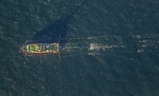
A consortium of USV and hydroacoustic tech firms, including ACUA Ocean, GeoAcoustics and Unmanned Survey Solutions (USS), has secured funding from the British Department for Environment, Food and Rural Affairs...


