Found 168 results
Sort by

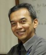
Dr. Purbo Poerbandono

Dr.rer.nat. Poerbandono is Associate Professor in Hydrography and course coordinator of FIG/IHO/ICA Category A Hydrographic Surveyor Profession Education Programme at Geodesy and Geomatics Engineering Study Programme, Faculty of Earth Sciences...

Read more

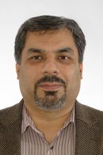
Yahya Memarzadeh

Yahya Memarzadeh received his PhD in Satellite Geodesy and Ionosphere modelling from Delft University of Technology in 2009. He is currently a geodesist in the R&D team of GNSS precise...

Read more

Dariusz Lapucha

Dariusz Lapucha holds a PhD in Geodesy from Warsaw University of Technology, Poland and an MSc in Surveying Engineering from The University of Calgary, Canada. He is a senior geodesist...

Read more

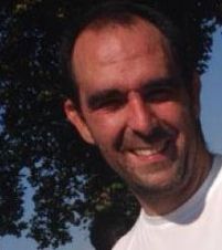
Luís Santos

Luís Santos is a survey engineer at the Faculty of Sciences of the University of Lisbon (FCUL, 1992-1997) with a Post-Degree i n Geodesy (2002-2003). He worked as teacher assistant...

Read more

Australia Tests Improved National Positioning

According to Geoscience Australia, technology companies GMV, Inmarsat and Lockheed Martin have joined Australia's two-year national positioning project. The project is trialling a Satellite Based Augmentation System (SBAS) to improve...

Read more

5 Questions to Larry Mayer

Larry Mayer is professor and director of the School of Marine Science and Ocean Engineering and director of the Center for Coastal and Ocean Mapping, University of New Hampshire, USA....

Read more

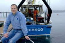
5 Questions to Nicolas Seube

Nicolas Seube is scientific director of the CIDCO (Interdisciplinary Center for the Development of Ocean Mapping), Rimouski, Québec, Canada; formerly the coordinator of the French Category A programme at ENSTA...

Read more