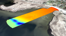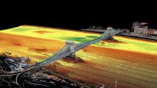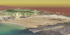
Long-term observations of beach topography and nearshore bathymetry
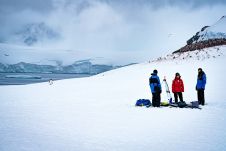
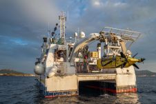
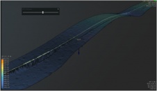
To understand coastal change and anticipate what our future coast will look like, scientists carry out regular field surveys in the form of beach profiles and digital elevation models (DEMs)....