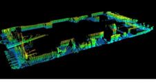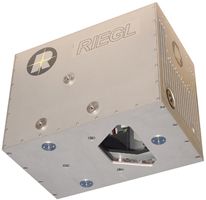
Hydrographic Airborne Laser Scanner
RIEGL introduced the VQ-820-G Hydrographic Airborne Laser Scanner in September 2011. This device has been specially designed for combined land and hydrographic airborne surveying. The high-accuracy ranging is based on...