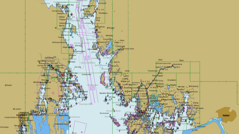
Norwegian ENC Data in OpenCPN
Updated Norwegian electronic navigational chart (ENC) data can now be downloaded and used in the open-source chart plotter and navigation software, OpenCPN. The Norwegian Mapping Authority Hydrographic Service's electronic navigational chart data is available in OpenCPN's chart catalogue, O-charts.
Renate Rosner Consult S.L. (RRC), representing OpenCPN, has signed a distribution agreement with the Norwegian Mapping Authority. The Norwegian Mapping Authority strive to make fresh and updated chart data available for the leisure fleet and are constantly working to ensure that their data are easily accessible for all boaters.
Many Users
OpenCPN is a free software used since almost ten years on all continents, and it has more than 250.000 active users. The users are organized in communities and the degree of visibility and penetration in the boating communities is perhaps the highest in Norway and the Netherlands.
According to managing director Andreu Aranda at Renate Rosner Consult S.L. (RRC), adding the complete Norwegian chart set licensed from the Norwegian Mapping Authority, to the portfolio of vector charts for the OpenCPN user community answers to the need of reliable chart material for the leisure sailor. Charts are a basic tool for safe navigation and trip planning to their users.
Weekly Updates
RRC informs that the Norwegian electronical charts will be available from o-chart.org in due terms, and that weekly updates will be run.
The agreement between RRC and the Norwegian Mapping Authority demands that the electronical chart data are continuously updated, at least twice a month. This is the same pace as notices to mariners, associated to official Norwegian Print on Demand charts and ENCs, are published in the Norwegian NM, Etterretninger for sjøfarende (Efs).
RRC also have distribution agreements with the hydrographic offices in the United Kingdom, the Netherlands, France, Germany, Iceland, Croatia, Belgium and Spain. In addition, electronical chart data from the American hydrographic office (NOAA) are part of the chart catalogue at O-charts.org.
ENC vs. Chart Plotter
Producers of electronical navigational charts for chart plotters can get access to chart data from the Norwegian Mapping Authority, to be used in their software. These chart solutions are not authorised navigational charts.
There is at difference between official electronical navigational charts (ENC) used in an ECDIS (Electronic Chart Display and Information System) and electronical charts used in chart plotters. Carriage of up-to-date official charts (ENC) is an obligation for the regulatory (SOLAS) shipping. Only ENCs fulfill these carriage requirements.


