EMODnet Bathymetry Now Offers Highest Resolved Bathymetric Worldwide Layout
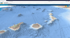
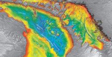
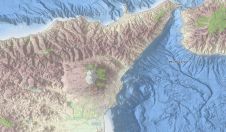
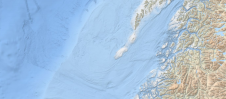
Bathymetry, the topography of the seafloor, is a fundamental feature of the ocean. Accurate bathymetric data is the foundation for much of ocean science and policy. For example, nautical charts...