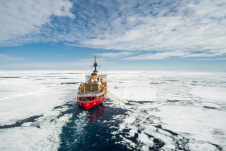
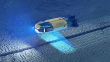
Working in the ocean environment can be challenging and dangerous. It requires skilled professionals using cutting-edge technology to measure and map the physical features of the underwater environment, whether for navigational safety, coastal zone management, mapping of physical structures or seabed topography. Often, data is collected in remote locations or locations with unpredictable and harsh weather conditions. Working in the ocean environment can be challenging and dangerous. It requires skilled professionals using cutting-edge technology to measure and map the physical features of the underwater environment, whether for...