Found 5878 results
Sort by

Chesapeake Real-time StrataBox Interface

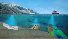
SonarWiz.MAP is the new real-time interface for the SyQwest, Inc. StrataBox subbottom profiling sonar. According to CTI President, Eileen Gann said that the new SonarWiz.MAP real-time interface allows users to...

Read more

Real-time Marine Monitoring Systems

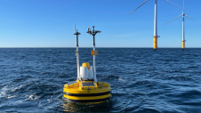
The seas are being monitored, from satellite observations of the ocean surface to the growing number of in-situ measurement networks. The amount of information being generated is huge and should...

Read more

Real Time Flow Information System

Ships and their pilots have difficulties in entering a harbour during periods of relatively high flow velocities. We developed a system that gives real time depth average flow velocity and...

Read more

Real-time Marine Monitoring Systems

The seas are being monitored, from satellite observations of the ocean surface to the growing number of in-situ measurement networks. The amount of information being generated is huge and should...

Read more

Real-time Marine Monitoring Systems

The seas are being monitored, from satellite observations of the ocean surface to the growing number of in-situ measurement networks. The amount of information being generated is huge and should...

Read more

NOAA Real-time Wave Monitoring

The NOAA National Ocean Service, Center for Operational Oceanographic Products and Services (CO-OPS) has installed a real-time wave/current measurement system in the Chesapeake Bay (MD, USA) using a bottom-mounted RD...

Read more

Mapping through fluid mud

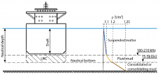
The presence of suspended sediments in water bodies presents significant challenges for the dredging industry. Existing methods to determine nautical depths are intrusive single point methods relying on in situ density or shear strength measurements1,3 or low-frequency single-beam echosounder recordings1,2. The use of single-beam echosounders is however systemically problematic as they are not practical in satisfying the CATZOC A1 coverages required for contemporary electronic navigational charting. The presence of suspended sediments in water bodies presents significant challenges for the dredging industry. Existing methods to determine nautical depths are intrusive single point methods relying on in situ...

Read more

Slocum Glider

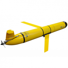
The Slocum glider is buoyancy-driven to enable long-range and duration remote water column observation for academic, military, and commercial applications. It can be deployed and recovered from any size vessel with minimal time on station The Slocum glider is buoyancy driven to enable long range and duration remote water column observation for academic, military, and commercial applications. The Slocum Glider can be deployed and recovered...

Read more